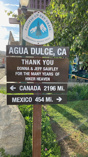
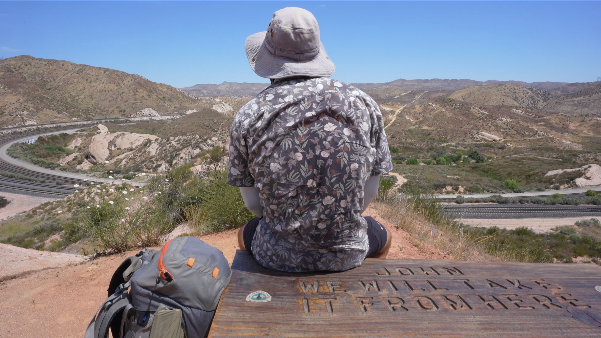
PCT CA Section D - Interstate 15 to Agua Dulce - 112.5 Miles
Backpacking vs. Thru-hiking - The Truth Revealed!

This post is part of a series I am writing to highlight different sections of the PCT and is designed to be a companion to my similar YouTube series. Links to those will appear here as I continue with the project. You can explore the section through the interactive GPS route I've loaded up on Gaia.
The Route

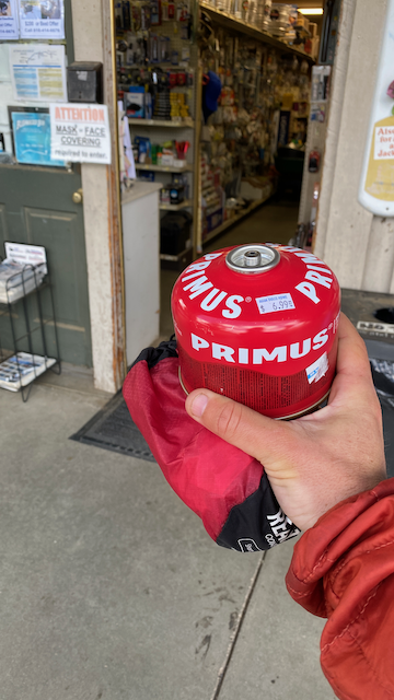
I've done a fair amount of backpacking in my life, but never found myself setting up camp in the parking lot of a Mexican restaurant at 9PM, winded on 1 and a half margaritas, sleeping time away waiting for the hardware store across the street to open so I can buy some canister fuel. Maria Bonita's is the hot spot of Agua Dulce. I think the whole town drives down from their ranches after a long day of work to watch baseball on the outdoor big screen and fill their bellies with enchiladas. Can't blame 'em.
I'm not the only one eating alone at the restaurant. Crazy-but-friendly Cougar lady sits at the table next to me flanked by 4 empty glasses. The waiters keep bringing her more, and she snares them in the chatter-trap for at least 5 minutes before letting them get back to their job of bringing out more margaritas to the thirsty crowd. She's loud, but hasn't directed any of that noise in my direction yet.
"ARE YOU HIKING THE PCT!?!?!"
Here we go.
She stumbles over and pulls out the empty chair at my table.
"Mind if I take a seat?" she croaks.
Fuck it, I think.
"Sure," I actually say.
"DID YOU START IN MEXICO?"
The conversation takes the typical course of people curious with the PCT. How many miles is it? Am I doing the whole thing? Why am I doing it? Did I start in Mexico? We make it through all that and I'm surprised to find the conversation quite pleasant. There's nothing wrong with being a little crazy, boisterous, and drunk right? She's interested in my story, and I'm doing the waiters a service. They get a breather from her. All the other tables are full up on margaritas now.
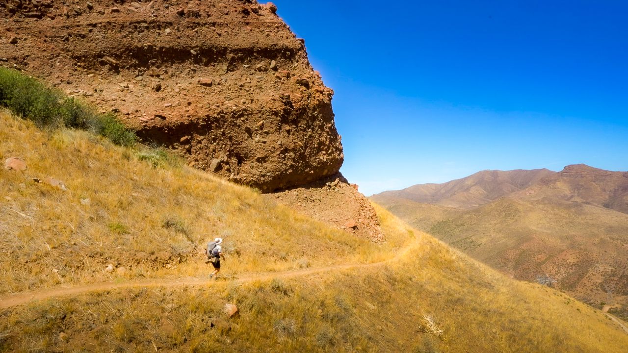
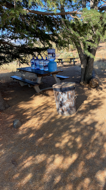
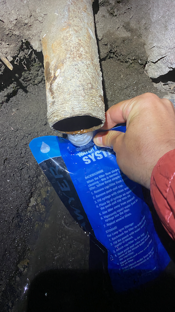
So I start discussing Section D of the PCT. This section offers Southern California's most punishing climb, 9,245 feet of elevation gain over 22 miles up from highway 15 in Cajon to Mt. Baden-Powell (the peak is a short jog from trail at 9,399 feet). Natural water sources are scarce again, but there are plenty of well-stocked caches since the trail in this area is accessible via trails and dirt roads off of highway 2 (Angeles Crest Highway). Infrastructure abounds from all the camp grounds and a small ski hill.

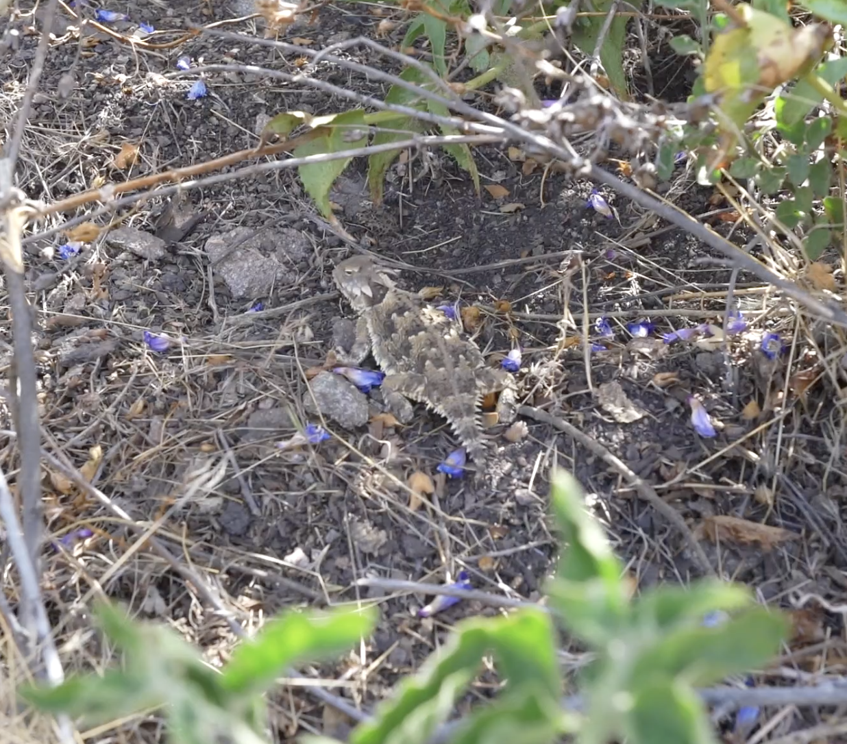
Past the initial ascent, the trail dips and rises but largely stays above 5000 ft in the transition and Canadian forest zones. This means there is decent tree cover, yet I still suffer from exposure during this section. Warm air from the Mojave desert to the north rips up the mountain side constantly. You'll feel some heat, but if you don't you'll feel the wind. It's one or the other, your only job is to walk through it.
"I've always wanted to go on a big adventure like that," crazy-loud-cougar-lady takes her turn to speak. We talk about what it means to have a life well lived, and seem to agree that it must involve a few unconventional adventures. She wants to visit the Grand Canyon desperately. It's not far, but she just hasn't taken the time to go - busy with work and people and other trappings of life. I urge her to take go, it's a beautiful scene.
And there's more beauty steps away too, I tell her, reflecting on the some of the scenes from the past few days. Nature treated me to views with rivers of clouds flowing through Squaw Canyon and past Messenger Flat at a spot entertainingly named Perspiration Point. The summit of Mt. Baden-Powell reveals 360 degree panoramas that demonstrate the forceful wall of the San Gabriel Mountains, a serrated edge separating greater Los Angeles from barren Palmdale and Victorville. The northern expanse of flat dirt with patchwork road is a good reminder of the hiking still to come before reaching the Sierras. Sunsets and sunrises abound.

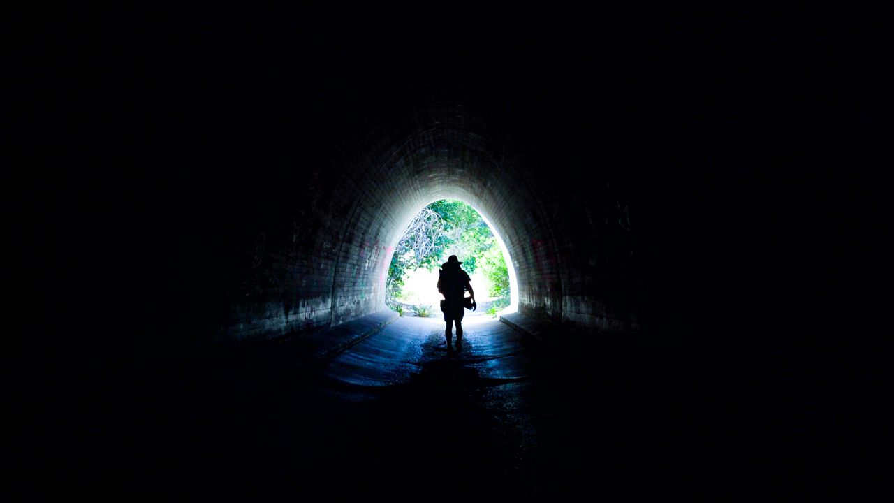
Nature's not the only artist here. I enjoyed the graffiti peppering the tunnels under highways 14 and 15. A highway underpass seems to be a great place for graffiti in my opinion. And the echos. I had fun with those (check the video intro). I got to be an artist too!
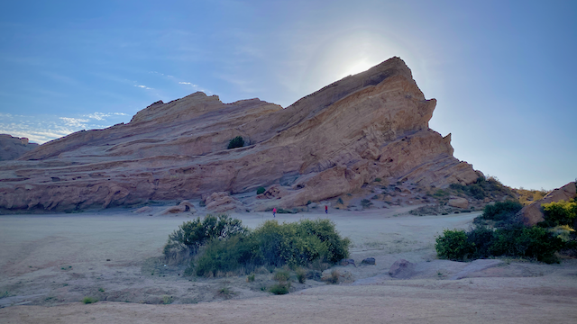
However, you just can't measure up to Nature's skill as an artist. She's a painter, a photographer, a songstress, a movie director, an architect, a sculptor. She exhibits her craftsmanship just north of Acton KOA through Vasquez Rocks. Sedimentary layering and seismic uplift have left fantastic formations to captivate and inspire. The power of earth is on full display.
"OK, Keegan, I'm going to do it. I'm going to visit the Grand Canyon." I smile. Have I just inspired someone? Will crazy cougar lady actually follow through? In an unexpected self awareness, she continues "I have a habit of talking too close and too long, so I should leave now. It was really nice chatting with you."
"Nice chatting with you too." And it was.
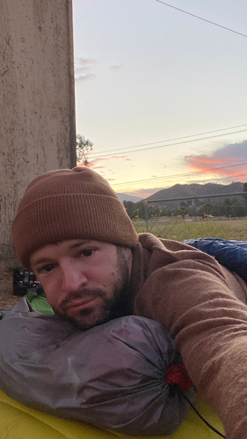
It's only 9PM and the party is in full swing here at Maria Bonita, but it's time for me to call it a night. I need to find a place to crash so I can hit up the hardware store across the street in the morning. I'd rather not walk very far. I'm already in my sandals and the tequila has worked its way down to my toes. A horizontal position is needed fast.
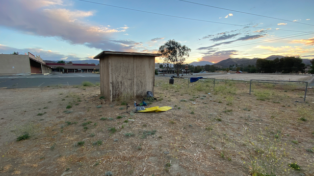
There's a small dirt field adjacent to the parking lot where I see a tiny dilapidated shack that looks like it might disintegrate at the next brush of wind. But it's the only cover in sight. I amble over, lay out my sleeping pad and air mattress, and settle down for the night. Dodge Rams and Ford F-150's rip out of the parking lot for the next hour as the party at the Mexican restaurant settles down too. I squish my foam ear plugs into my head to help keep the peace between me and so many revved up V-8 HEMI and Eco-Boost engines. I'm thankful that my little shack still stands where it does, shading my eyes from the bright halogen beams cast into the night by these trucks.

Learn Things
Mt. Baden-Powell
Named after the founder of the Boy Scouts, Sir Robert Baden-Powell, this mountain boasts the highest point along the Southern California section of the PCT, and on a smog-free day offers views out to the Pacific Ocean, Mt. Whitney, San Jacinto, and Mojave Desert. It's truly stunning. Due to its association with the Scouts, it is something of a pilgrimage for troops around the nation in addition to being a popular day hike for the city slickers below.
The scouts have built small markers at random intervals up the climb which show distance to the hundreth of a mile and elevation to the foot. It's a fun opportunity to test your internal odometer and altimeter. You may fined these instruments to be well-calibrated now that you have a few hundred miles of hiking on those feet. Of course, the phone GPS is incredibly precise now too, so perhaps this is nothign new to you.
Limber Pines

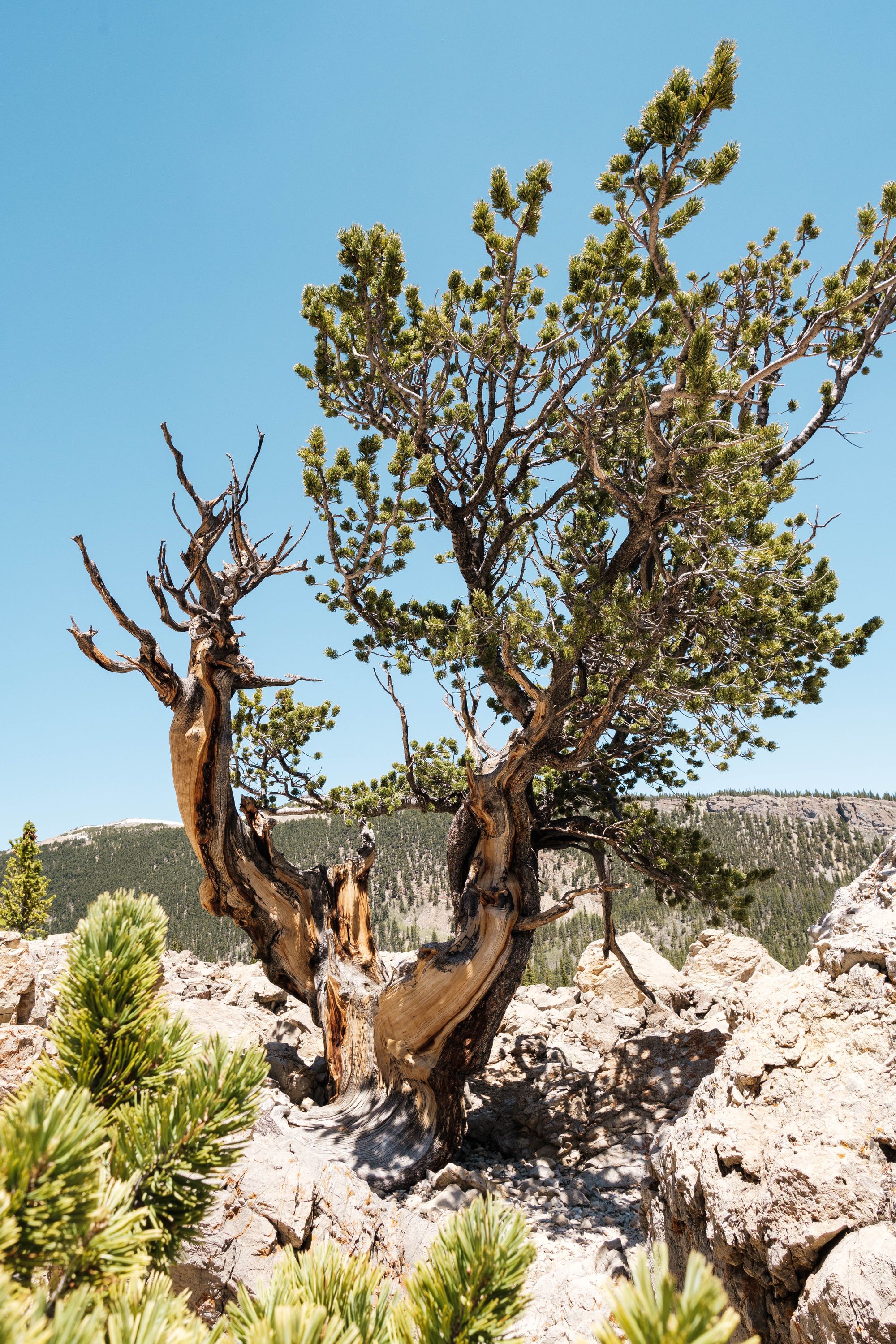
Above 9,000 feet in Southern California, you will find yourself in the Hudsonian zone. This is the ecological equivalent of being at sea level in Northern Canada. One of the conifer residents up here is the wind-twisted Limber Pine, which has rubbery twigs you can bend into knots like a cherry stem. Some of these pines are believed to be over 2000 years old. Whether you are suffering from the heat or the wind on this particular day, just imagine yourself a limber pine and try to adapt. Be flexible with the weather delivered.
Vasquez Rocks

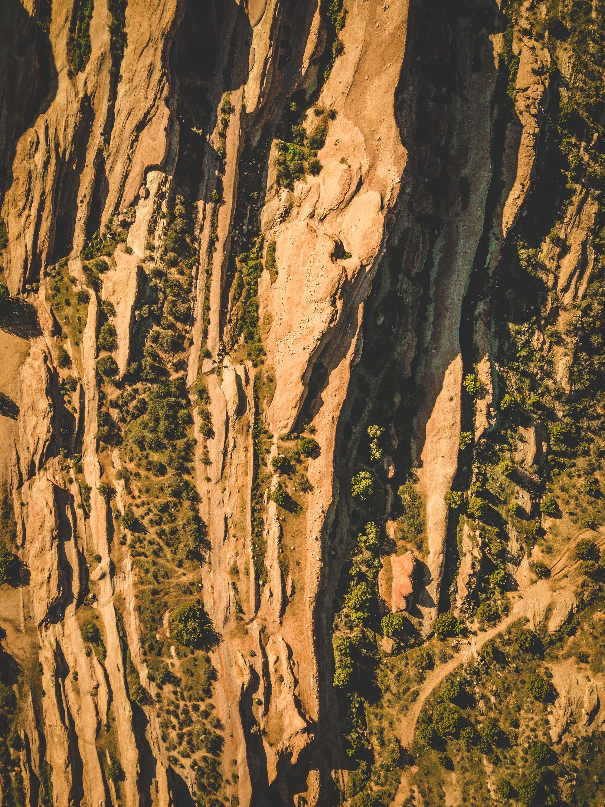
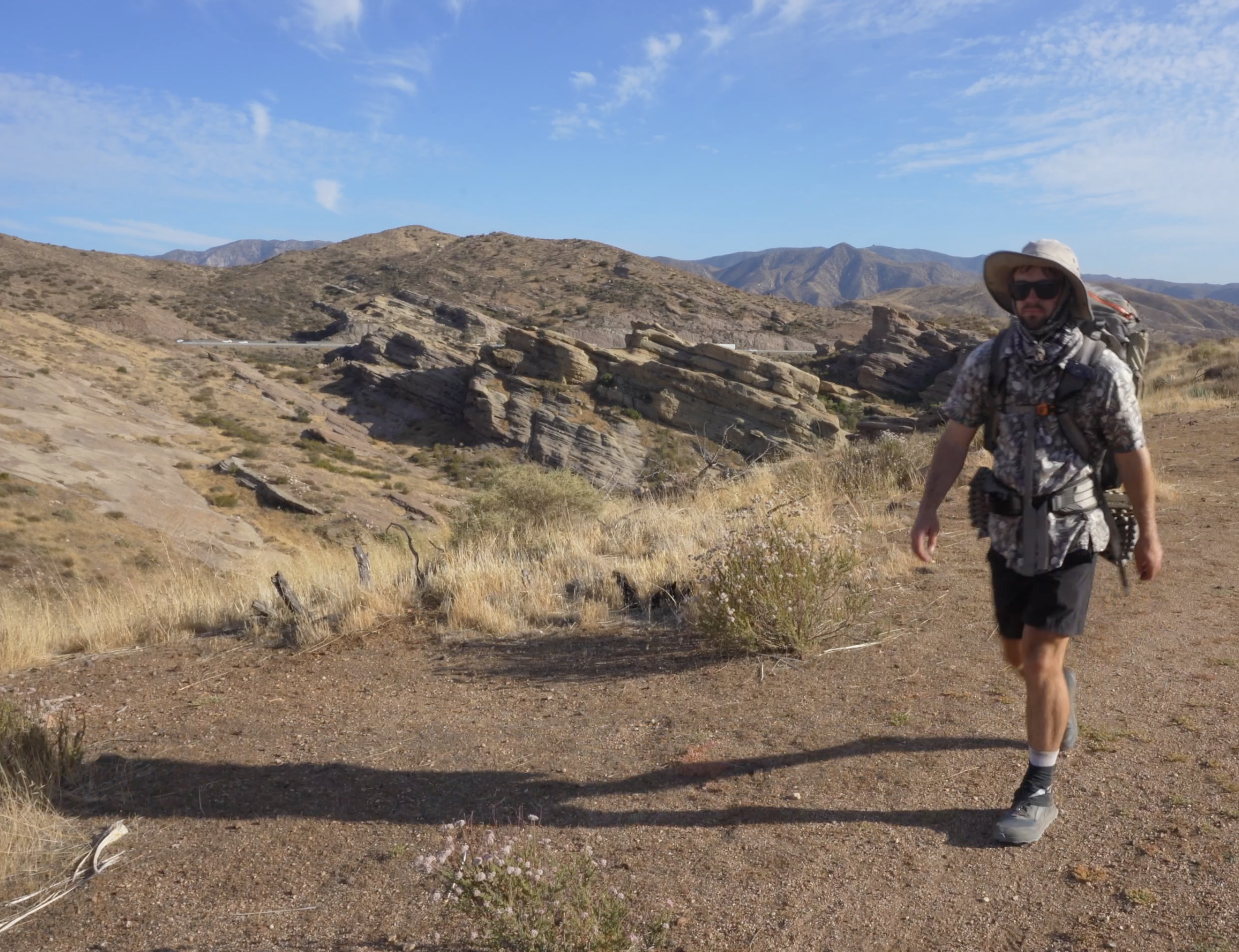
If rocks can be cool and old, Vasquez Rocks are the Steve McQueen of geology. Rising out of the dust-covered hills between Acton and Agua Dulce, these rocks make for a lovely introduction to the natural power of erosion and quake. They were likely formed roughly 25 million years ago and uplifted from the ground with activity from the San Andreas fault, where the Pacific and North American tectonic plates meet. You've seen evidence of this fault before passing through Cabazon Pass at I-10.
Vazquez Rocks lie along The Elkhorn Fault, which is actually an offshoot of San Andreas. In classrooms, faults are typically taught with straight line drawings, but it's not quite like that. Over time, erosion can cause the distinction between plates to blend, and plant cover helps to soften the hard lines you may be looking for. The faults may be easier to identify by discrete geological features like Vazquez Rocks. The San Andres has a lot of offshoots in addition to Elkhorn. Just nearby this area are also Pelona, Vasquez Canyon, Soledad, and San Gabriel Faults. Maybe best to think of it like a branching lightning bolt, or shattered glass, rather than a single fracture line.